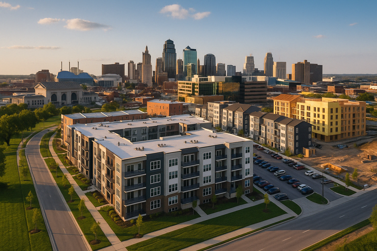
KCData AI Insights & Full Parcel Listing for ZIP 64157
In the Kansas City real estate market, significant trends and value patterns are emerging that highlight the dynamics of property ownership and development. The parcels dataset reveals a notable concentration of ownership within public and semi-public entities, such as KCMO - Public Works, MoDOT, and the Land Bank of Kansas City, Missouri. These entities hold vast numbers of parcels, indicating strategic control over large swathes of land, especially in key areas of urban development and infrastructure. Additionally, the assessed land values show substantial variation, with some parcels valued at nearly $19 million, yet the average remains modest at around $15,734, pointing to a diverse property landscape with opportunities for both high-end and budget-conscious investors. The improvement ratio, which reflects the extent of property development, varies widely, suggesting potential for investment in underdeveloped parcels that could benefit from enhancements.
Focusing on ZIP code 64157, the data reveals a vibrant real estate scene with numerous opportunities for strategic acquisitions. The sample data indicates a varied improvement ratio, with values ranging from around 3 to over 7, highlighting properties that have undergone different levels of development. This variation presents investors with options to either capitalize on already improved properties or to engage in value-adding renovations. Streets like NE 103rd Ter and N Laurel Ave frequently appear in the dataset, suggesting these are areas with active transactions and potential growth. The presence of well-known owners, such as family trusts and individual investors, also points to a neighborhood attractive to both private and institutional buyers. With its substantial number of parcels and competitive improvement ratios, 64157 is ripe for those looking to invest in a growing community within the Kansas City area.
Some details are blurred. Upgrade now to unlock full data, sorting, downloads, and more!
No parcels found for this ZIP code.